
Hurricane Barbara (2025): The Pacific's Early Warning Shot
The Birth of a Tempest Off Mexico's Coast
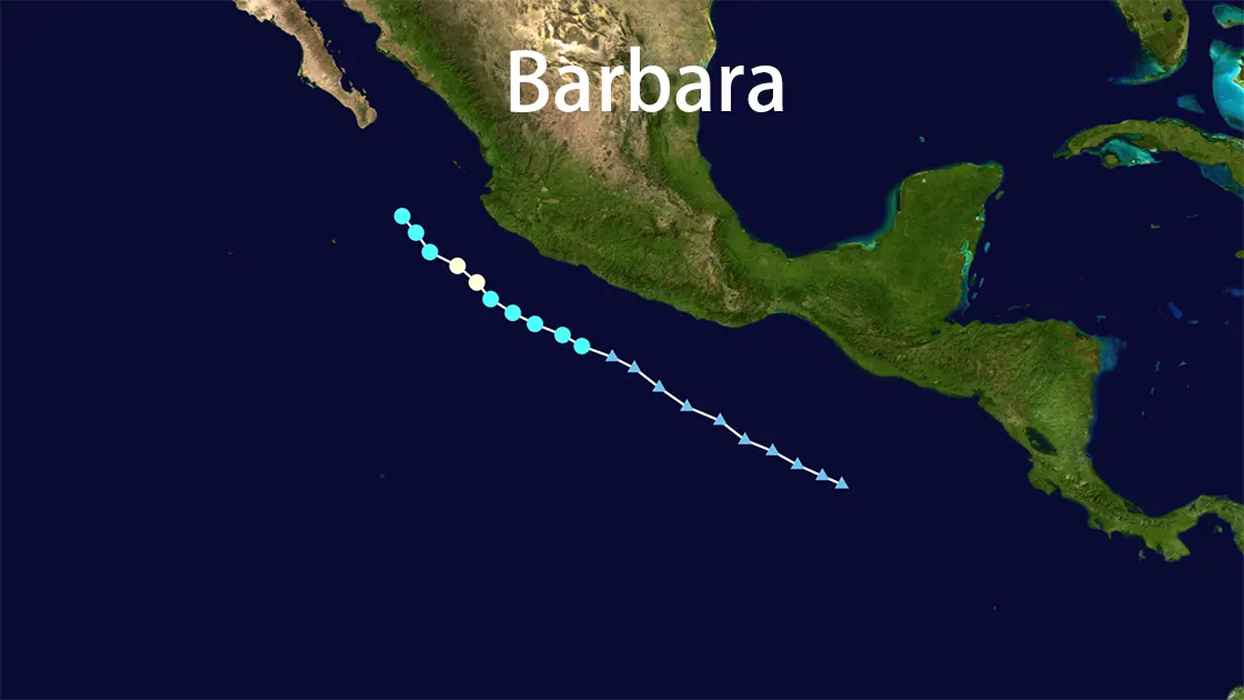
June 8, 2025, 15.2°N 102.4°W - Eastern Pacific Ocean: Beneath a brooding sky, warm ocean waters near western Mexico began churning with unusual ferocity. What started as an unnamed disturbance coalesced into Tropical Storm Barbara by 0900 UTC, roughly 180 miles off the Mexican coast. The nascent storm, cradled by warm seas exceeding 28°C (82°F) and steered west-northwestward by a mid-level ridge, pulsed with potential. Coastal communities watched warily; the 2025 Pacific hurricane season had barely begun on May 15th, yet nature was already flexing its muscles.
From Whispers to Howls: Barbara's Meteoric Rise
The warm embrace of the Pacific proved potent fuel. Within 24 hours, Barbara underwent a dramatic transformation. By June 9, 2025, sustained winds clawed their way past the 74 mph threshold. Hurricane Barbara, the first hurricane of the 2025 Pacific season, was born. By 1800 UTC that day, she reached her peak fury: Category 1 status, unleashing maximum sustained winds of 75 mph (120 km/h). Her core tightened, the barometric pressure plunging to a menacing 991 millibars. Satellite imagery revealed a ragged but distinct eye, a swirling vortex of energy centered approximately 195 miles west of Cabo Corrientes, Mexico. The relentless push west-northwest at 295 degrees, 10 knots, became her defining path, a trajectory offering Mexico a perilous brush but, ultimately, a narrow escape.
A Coastal Brushstroke: Swells, Rain, and Averted Disaster
While Hurricane Barbara's core remained thankfully offshore, her influence reached hungrily towards land. Along the southwestern and west-central coasts of Mexico, the ocean transformed. Towering swells, generated by Barbara's powerful winds churning the sea hundreds of miles away, began crashing ashore by June 10th. These relentless waves battered beaches from Guerrero to Jalisco, surging towards the southernmost tip of the Baja California Peninsula. The National Hurricane Center (NHC) issued stark warnings: "Life-threatening surf and rip current conditions." Coastal roads near Manzanillo and Puerto Vallarta shimmered under sheets of salt spray, while fishing fleets remained securely moored, their decks slick with rain from Barbara's outer bands. Heavy downpours triggered localized flooding in vulnerable low-lying areas, turning streets into temporary rivers. Yet, despite the ominous rough seas and soaking rains, the crucial line held: tropical-storm-force winds never made direct landfall. No damage was officially reported. No lives were lost. The collective sigh of relief along the Mexican coast was almost audible over the retreating storm's roar.
Fading Echoes Over Cooler Waters
The Pacific, giver of life to Hurricane Barbara, also dictated her demise. By June 10th, her westward track carried her over progressively cooler waters. The vital heat energy sustaining her fury began to wane. Wind speeds dropped steadily – 60 knots by 0600 UTC, 45 knots by 1800 UTC. By June 11, 2025, Barbara was stripped of her hurricane, then tropical storm, status. What remained was a disorganized swirl of clouds and rain, a remnant low-pressure system, lingering briefly near 19.8°N 112.2°W before dissipating entirely over the open ocean by June 13th. The first hurricane of the season was gone, leaving behind only churned water and a stark message.
The Significance of an Early Season Harbinger
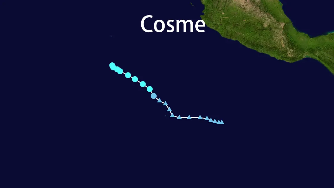
Hurricane Barbara's brief, intense life was more than a meteorological footnote. Her formation on June 8, 2025, shattered seasonal expectations. Historically, the second named storm in the Eastern Pacific doesn't typically appear until around June 24th. Barbara's rapid intensification into the season's first hurricane signaled an unusually active and early start to the 2025 Pacific hurricane season. While she caused minimal impact, her presence coincided with Tropical Storm Cosme, churning further out in the basin. Forecasters pointed to this dual-act as evidence of a basin primed for activity. Warm sea surface temperatures and conducive atmospheric patterns suggested the potential for more systems, like the anticipated Tropical Storm Dalila, to follow swiftly in her wake. Barbara was not a catastrophe for Mexico, but she served as a potent early warning shot across the bow of vulnerable coastal communities – a vivid, swirling reminder that the 2025 Pacific hurricane season had arrived with unusual haste and vigor.
Hurricane Barbara 2025: Key Metrics at a Glance
| Aspect | Details |
|---|---|
| Lifespan | June 8, 2025 (Formed) - June 11, 2025 (Dissipated) |
| Peak Intensity | Category 1 Hurricane - 75 mph (120 km/h) winds, 991 mbar pressure |
| Core Path | West-Northwestward (295° at 10 knots), remained offshore Mexico |
| Primary Impact | Coastal Mexico: Flooding rains, life-threatening rough seas, significant swells |
| Land Impact | No damage reported. No deaths reported. (Minimal direct wind impact) |
| Seasonal Context | First hurricane of the 2025 Pacific season (May 15-Nov 30). Significantly earlier than average formation for season's 2nd storm. |