
Tropical Storm Cosme 2025: The Pacific's Fleeting Dancer
Birth in the Eastern Pacific Theater
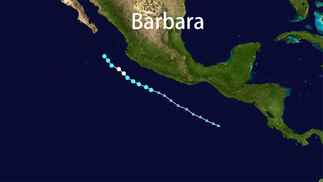
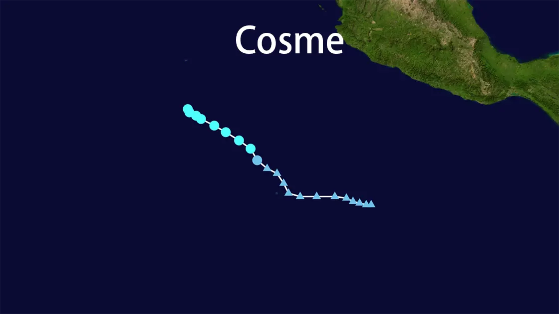
June 8, 2025, 500 miles southwest of Manzanillo: Beneath the relentless Pacific sun, a cluster of thunderstorms began organizing over 28°C waters. By 11:00 AM PDT, satellite imagery revealed a closed circulation - Tropical Depression Three-E had formed. Within hours, this compact system defied expectations, intensifying into Tropical Storm Cosme by evening. The 2025 Eastern Pacific hurricane season's third named storm had arrived, dancing onto the stage just as Hurricane Barbara dominated headlines eastward. Cosme seized the spotlight with astonishing speed: within 24 hours of its birth, the storm would reach its dramatic peak.
The Short-Lived Crescendo
June 9, 2025 - Open Eastern Pacific: Cosme pirouetted across the ocean stage, fueled by the warm waters beneath. At 15.3°N 114.5W, the storm achieved its moment of glory: maximum sustained winds of 70 mph (110 km/h) - just 4 mph shy of hurricane status. Satellite images revealed a 992 hPa core pulsing with convection, tropical-storm-force winds extending 45 miles outward. But even at this climax, danger loomed overhead. Northeasterly wind shear sliced through Cosme's structure, visibly displacing its low-level center from the deep convection - a harbinger of the struggle to come. The storm's west-northwestward movement at 5 mph felt like a dancer catching breath before the next act.
The Inevitable Decline
June 10, 2:00 AM MST: Cosme fought to maintain its form at 15.3N 114.5W, still packing 70 mph winds. But the Pacific had turned hostile. Cooler waters sapped its energy while the relentless 25-knot wind shear continued its structural assault. With each advisory, the National Hurricane Center (NHC) documented Cosme's unraveling:
- June 10: The once-symmetric storm became elongated, convection withering on satellite imagery
- June 11, 8:00 AM MST: At 16.4N 113.7W, Cosme's final act played out - downgraded to a remnant low with 35 mph winds and a dissipated core pressure of 1007 mb. Its movement had become erratic, shifting to ENE at 7 mph as the mid-level ridge lost influence.
The final NHC advisory at 8:00 AM MST on June 11 read like an obituary: "No further public advisories will be issued for this system." Cosme's 72-hour performance was over, its moisture dissolving into the vast Pacific expanse.
The Ghost Performance
Though Cosme never approached land, its presence echoed across the ocean. Swells generated by its 85 mph gusts radiated outward, potentially brushing Mexico's distant shores near Baja California. Fishing boats hundreds of miles away noted unusually choppy seas on June 10 - Cosme's final bow to the world. No coastal warnings were issued, no damage reported, yet for three days, this celestial dancer had commanded the Pacific stage.
Choreography of a Short Life
Cosme's entire existence unfolded with balletic precision across specific coordinates:
| Date/Time | Position | Wind Speed | Pressure | Movement |
|---|---|---|---|---|
| June 8, 11AM PDT | Formation Zone | 40 mph (65 km/h) | N/A | Organization |
| June 9 Peak | Open Waters | 70 mph (110 km/h) | 992 hPa | WNW @ 5 mph |
| June 10, 2AM MST | 15.3°N 114.5°W | 70 mph (110 km/h) | 993 mb | WNW @ 5 mph |
| June 11, 8AM MST | 16.4°N 113.7°W | 35 mph (55 km/h) | 1007 mb | ENE @ 7 mph |
This geographic ballet saw Cosme travel nearly 200 miles while completing its lifecycle - a compact journey ending where most storms begin their destructive work.
The 2025 Season's Ominous Overture
Tropical Storm Cosme wasn't an isolated performer. Its formation on June 8, 2025 - concurrent with Hurricane Barbara - marked the Eastern Pacific's most active early season in decades. As the third named storm before mid-June, Cosme validated NOAA's prediction of 13-19 named storms. Meteorologists noted with concern how warmer-than-average sea temperatures allowed these systems to form farther east and intensify faster - a pattern consistent with climate-influenced trends.
While Cosme left no terrestrial impact, its significance resonated through weather stations: the 2025 season wouldn't follow normal rhythms. Like a dancer exiting stage-left, Cosme made space for the next performers in what would become a record-breaking hurricane season - its fleeting existence a graceful yet potent warning of the turbulent months ahead.
Tropical Storm Cosme 2025: The Encore Data
| Aspect | Performance Record |
|---|---|
| Debut | June 8, 2025 (as TD Three-E) → Named Cosme same day |
| Peak Intensity | 70 mph (110 km/h) winds, 992 hPa (June 9) |
| Final Curtain | June 11, 2025 (Degenerated to remnant low) |
| Stage Coordinates | 15.3°N 114.5°W (Peak) → 16.4°N 113.7°W (End) |
| Choreography | WNW → ENE movement, avg. 5-7 mph |
| Wind Reach | Tropical-storm-force winds extended 45 miles |
| Seasonal Role | Third Named Storm of active 2025 EPAC season |
| Legacy | No land impact; swells only |