
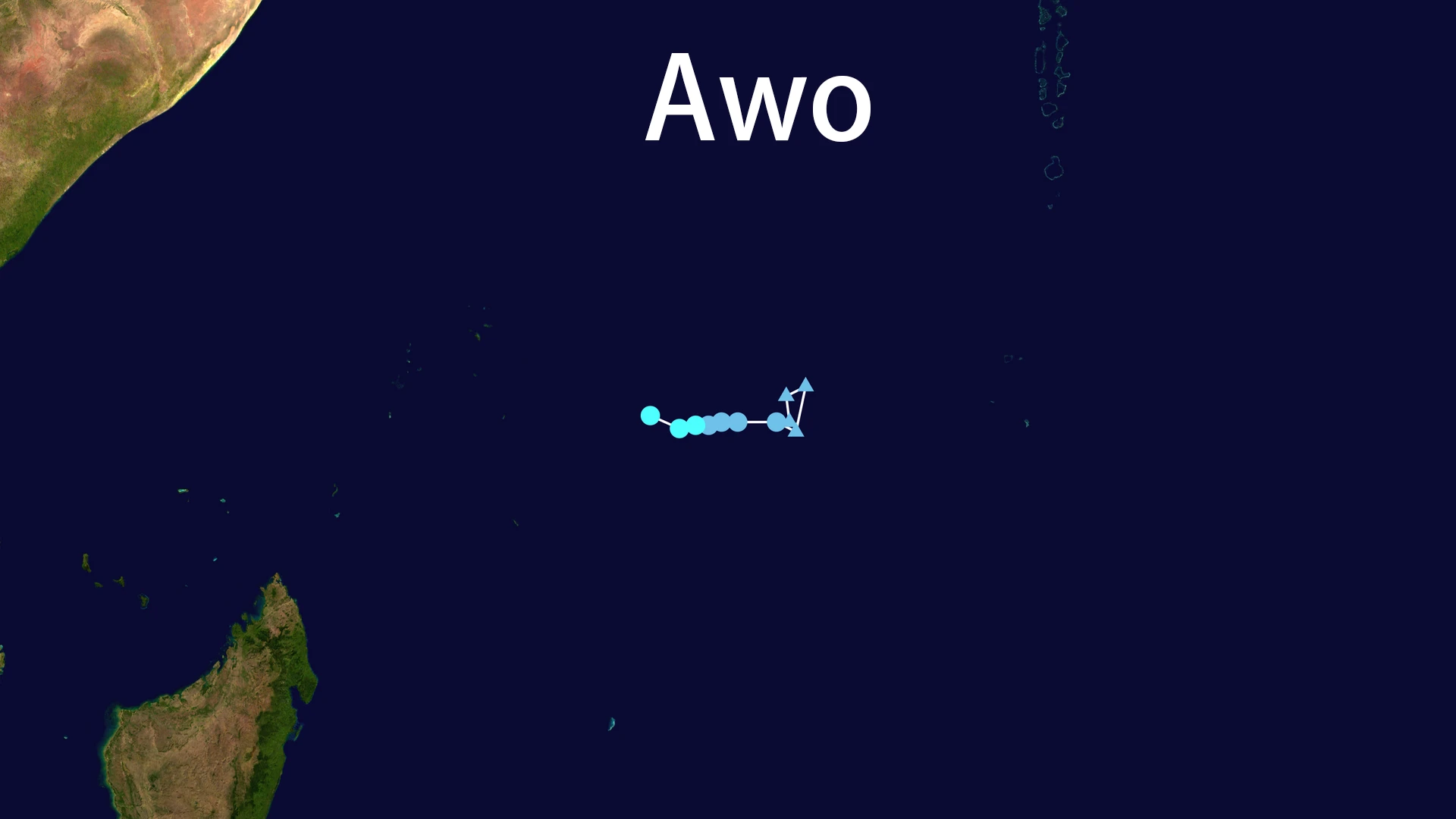
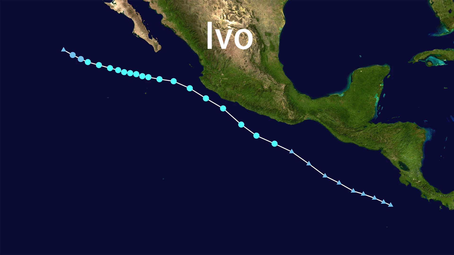
Tropical Storm Ivo (2025 - East Pacific)
Tropical Storm Ivo formed on August 6, 2025, becoming the ninth named storm of the 2025 East Pacific hurricane season, following Henriette. Ivo subsequently weakened to a Post-Tropical Cyclone on August 11th. As of the latest advisory, the center of Ivo was located near 23.2°N, 119.6°W. This position places Ivo approximately 615 miles (990 kilometers) west of the southern tip of the Baja California peninsula.
The remnants of Ivo are moving west-northwestward at 10 mph (17 km/h). Maximum sustained winds associated with the dissipating system are near 30 mph (45 km/h), with higher gusts. The estimated minimum central pressure is 1008 mb. Ivo has now moved into cooler waters, resulting in diminishing deep convection and continued weakening.
Current Status and Forecast Outlook
Ivo is forecast to degenerate into a remnant low and dissipate completely by the evening of August 12th. It will no longer produce tropical-storm-force winds. The remnants of Ivo are expected to continue moving westward, steered by low-level easterly winds, with a slight increase in forward speed. As a dissipating remnant low, Ivo poses no further tropical threat. Early forecasts had suggested Ivo might approach hurricane intensity (peak winds near 65 mph), but the storm encountered cooler water temperatures and dry air, preventing any intensification to hurricane status. The track of Ivo ran parallel to the Mexican coastline before turning westward, keeping the system well away from land. Consequently, Ivo never posed a direct land threat to Mexico.
Potential Impacts and Advisories
No coastal watches or warnings are currently in effect for Ivo. However, swells generated earlier by Ivo will continue to affect the southern Baja California peninsula and the southwestern coast of Mexico. These swells are likely to produce life-threatening rip currents and hazardous marine conditions, potentially persisting through the weekend. Although Ivo did not make landfall, it previously brought rainfall totals of 2-4 inches (locally up to 6 inches) to the Mexican states of Guerrero, Michoacán, and Colima. This rainfall carried a risk of flash flooding. Ivo has no anticipated impacts on the United States.